Let "Kohala Jim" help you find the right piece of paradise for you and your family.
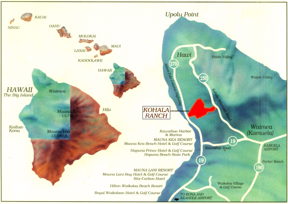
Kohala Ranch consists of approximately 4,000 acres of
rolling hills that begin at the Makai entrance in the Heathers
(approximately 300 feet above sea level)
and continue uphill to the Mauka entrance in the Summit
(almost 3,000 feet above sea level).
Jim says "Choose your climate, and I'll find you the right property".
Maybe it's the beach-like, warm and dry weather that suits you best.
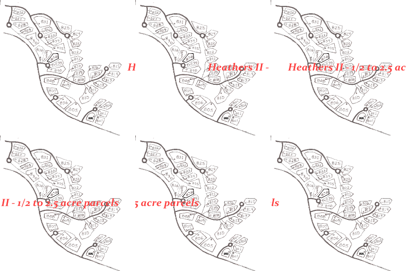
In which case, properties in the Heathers sections
are
probably going to be the most appealing to you.
On the other hand, like many others, you may decide that the
middle elevations offer the best climate of all.
You hardly ever feel the need for either heat or air
conditioning
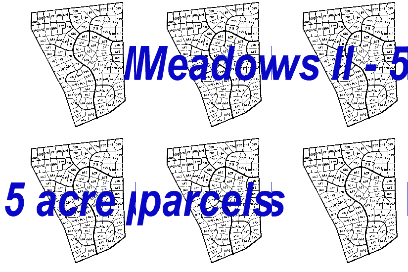
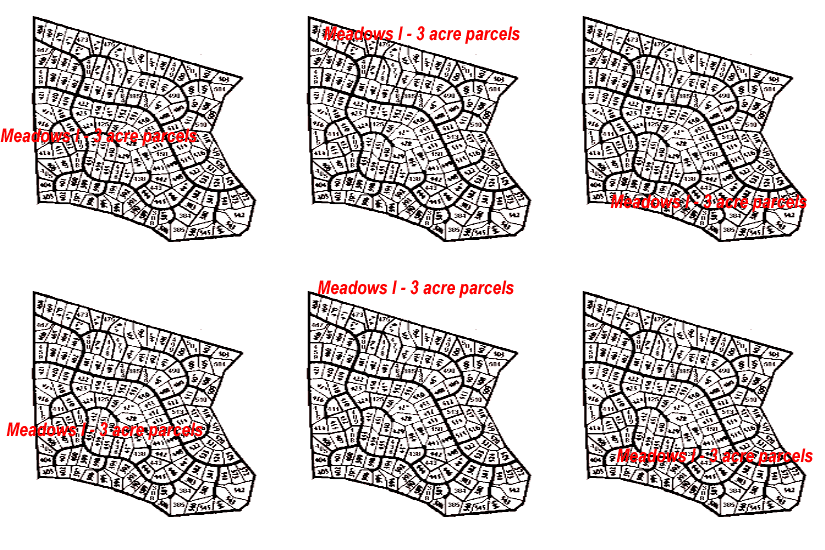
in the Meadows
and lower Summit sections.
Or, perhaps you prefer a cool, lush and green existence.
Your focus is likely to be in the Summit section of the ranch.

The maps below are displayed so that "Mauka" (mountain)
is displayed on the top of the page and "Makai" at the bottom.
Generally speaking, this means that east (sunrise) is at the top of the map.
Although a bit unconventional, it quickly becomes natural to view maps of
Kohala Ranch with the higher elevation lots appearing at the top of the page
and the lower elevation lots appearing at the bottom of the page.
Click to enlarge the full ranch map (above), or you can
choose maps that display specific sections of the ranch:


James M. Donovan, CPA, Realtor/Broker
(not in the practice of public accounting)
holds licenses in both California and Hawaii
Hawaii Real Estate Broker #19185 &
California Real Estate Broker #01930737
and practices real estate sales as the
Hawaii CPA #3417 (inactive) &
California CPA #19485 (inactive)
Principal Broker of
Hoku Star Realty
www.HokuStar.com